

loja online
agendamentos
eventos
pop-up

Interactive Map
Por
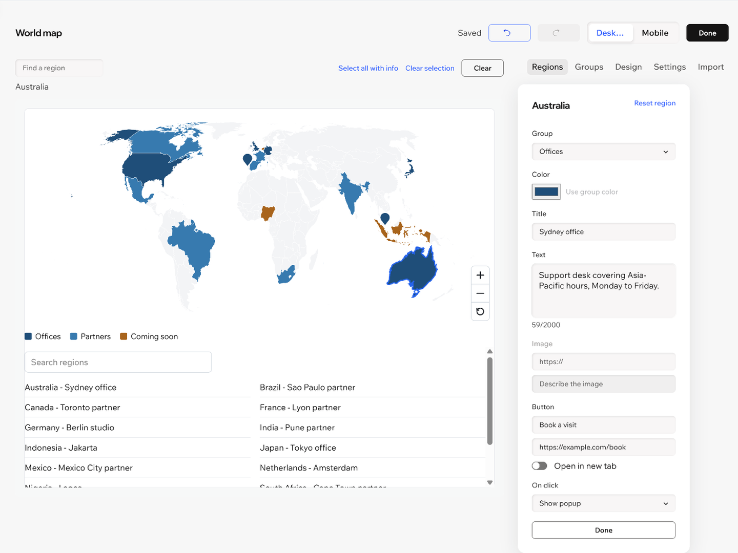
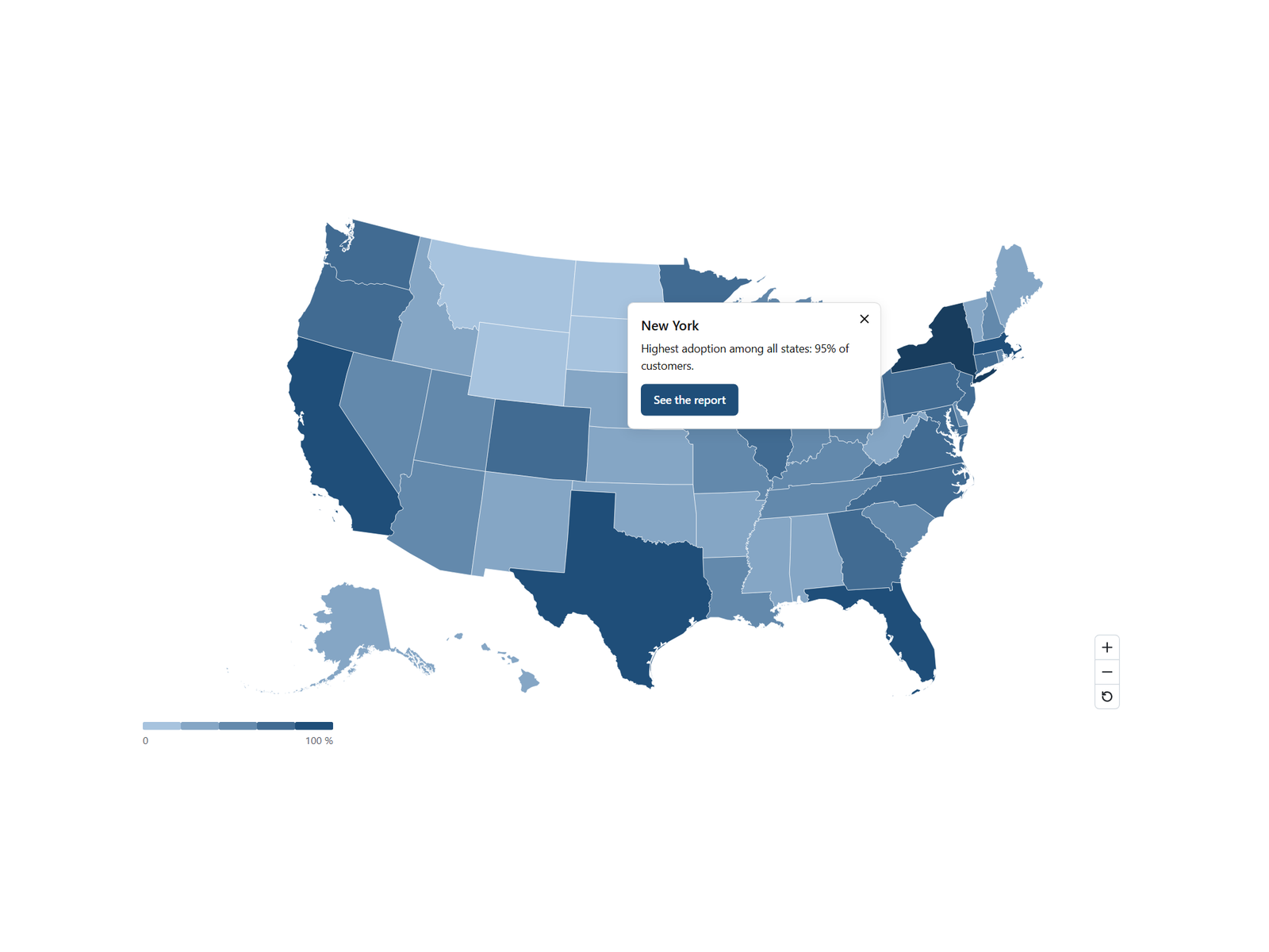
Clickable world map and US map with popups
Ainda não há avaliações
Plano gratuito disponível

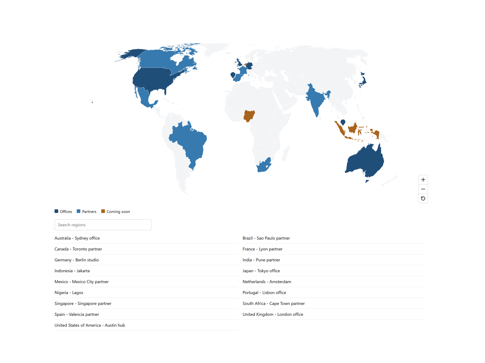
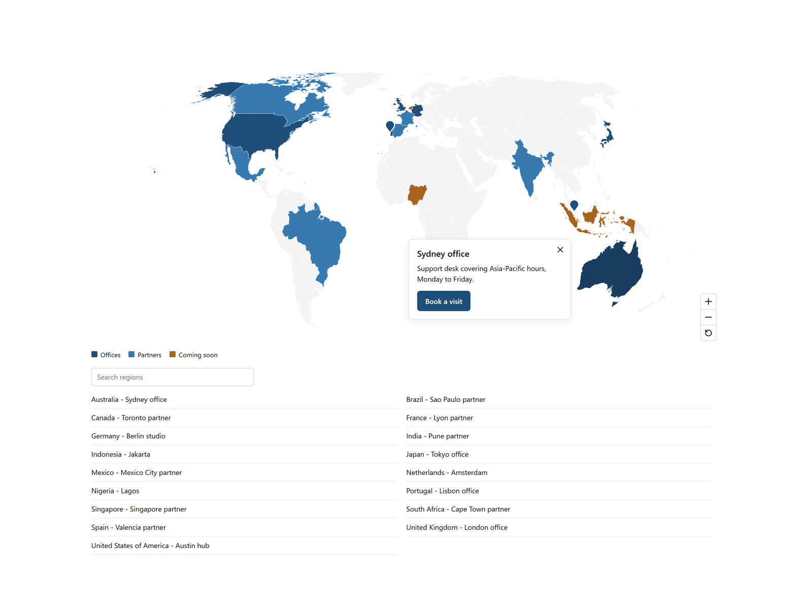
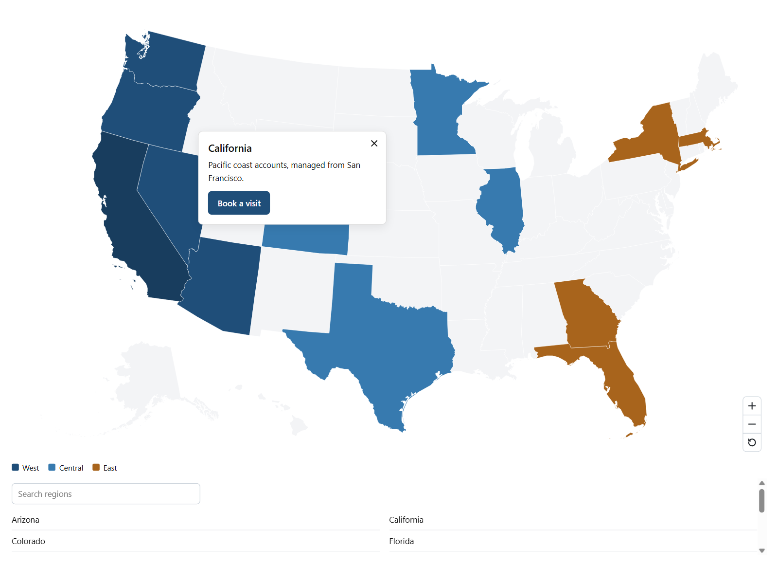
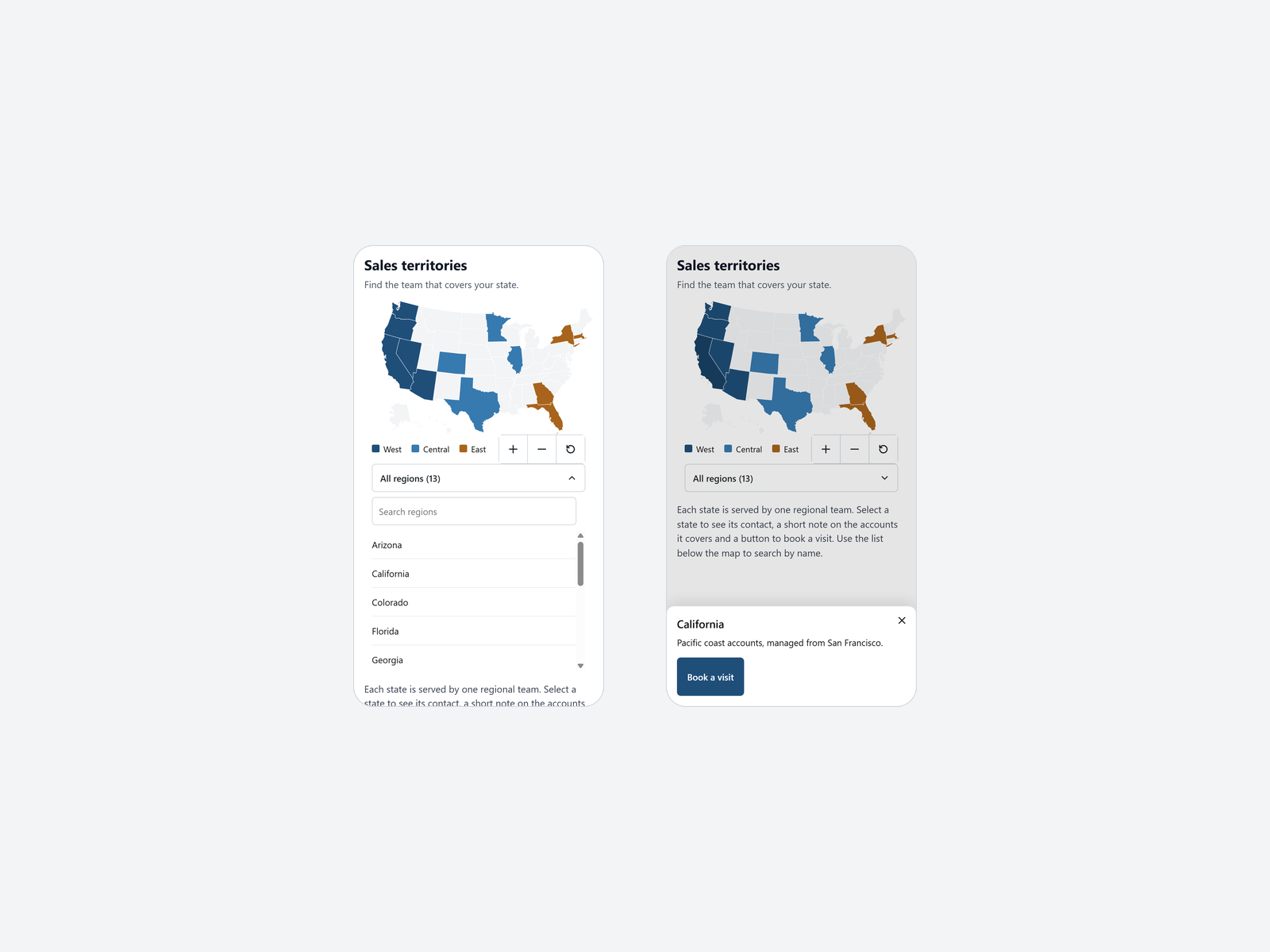
Visão geral de Interactive Map
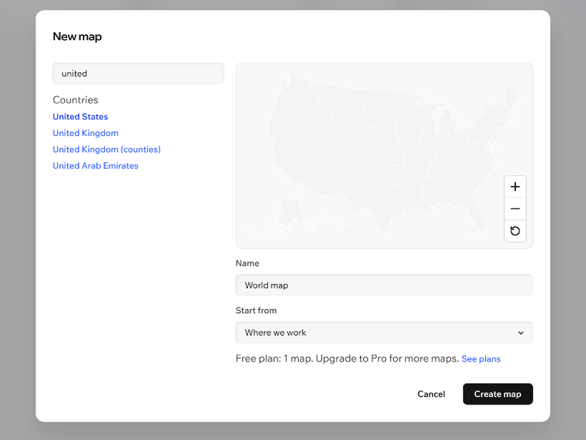
- 102 maps: world, continents, countries and their regions
- Popups with a title, text and a button on each region
- CSV import with a preview before anything changes
- Keyboard controls and named regions for screen readers
Classificações e avaliações
Este aplicativo ainda não recebeu nenhuma avaliação. Seja a primeira pessoa em avaliá-lo.Preços e planos
Plano Free
Grátis
1 map per site
Up to 3 markers
Popups, links and legend
CSV import and export
Plano Pro
$
3
49
/mês
Everything in Free
Up to 200 maps per site
Up to 300 markers
Color regions by value
* O preço está em USD.